If you’re into hiking, you already know that Austin’s got a trail for every day of the month – and then some.
When you’re feeling social, head to the Ann and Roy Butler Hike-and-Bike Trail around Lady Bird Lake, where runners go to get their fix. For a serious quad workout, opt for the River Place Nature Trail, where you can tackle more than 800 feet of elevation. If you’re hoping to dip a toe in a swimming hole (during a wet year), hike the Barton Creek Greenbelt. And if you want to see a troll or flop on a net inside a giant, open-air globe, beeline it to the Shoal Creek Trail.
I’m writing an urban hiking guide to Austin, so I’ve put in plenty of miles all over the city and beyond. As part of that research, I’ve uncovered new-to-me trails and revisited old favorites.
Here are five under-the-radar-trails that are worth exploring on your next free weekend in Austin.
Best Austin hiking trail to see a giant oak tree
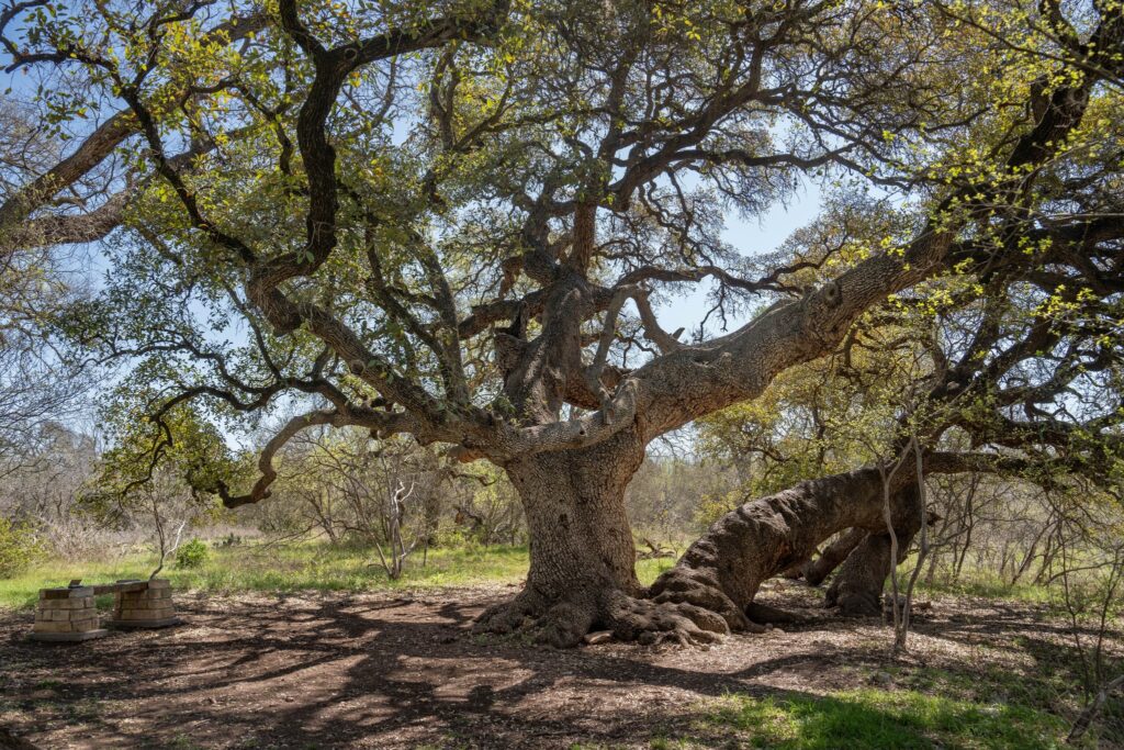
The trail at Baurle Ranch on Slaughter Creek passes this huge old oak tree. Pam LeBlanc photo
Bauerle Ranch at Slaughter Creek Trail
Distance: 3.4-mile loop
Difficulty: Easy
This 3.4-mile trail winds through a greenbelt that completely encircles a small neighborhood known as Bauerle Ranch in South Austin. Part of the trail parallels Slaughter Creek. One highlight is a gnarled old oak tree so big it takes three people linked arm-to-arm to reach around it.
Trail runners, dog walkers and mountain bikers all share the trail, which meanders through open fields of tall grass and prickly pear, dives into thickets of ash juniper, and dips in and out of rocky, usually dry creek beds. In spring, it’s a good place to see wildflowers, including bluebonnets, Indian blankets and wine cups.
Carry water and keep dogs on a leash. Don’t expect all flowers and clear-running creeks, either. In one spot the trail crosses beneath a street, and passersby have left trash and graffiti there. Parking is easy at the David C. Ellis Community Center, 3303 Doe Run, where a small park with a playground and tennis courts is located.
RELATED: In Switzerland’s quiet Val d’Anniviers, hike from one charming village to the next
Best new paved hiking trail near Austin
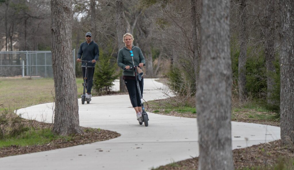
Trail users ride scooters along the Brushy Creek North Trail, which opened in spring 2025. Pam LeBlanc photo
Brushy Creek North Fork Trail
Distance: 6.37-mile out and back
Difficulty: Easy
Most locals know about the paved, 7.75-mile, east-west pathway between Cedar Park and Round Rock known as the Brushy Creek Trail. This spring, the trail got a northern extension.
The new spur starts in a shopping center at the southeast corner of the intersection of West Parmer Lane and Whitestone Boulevard. From there, it heads south, crisscrossing a network of mountain biking trails known as the Suburban Ninja Trails, which were built around 2016.
The new trail serves a much different audience – one that prefers strolling or pedaling a smooth concrete path instead of rambling along an undulating dirt path spiked with rocks and roots. If you prefer your trails with a natural surface, skip this one.
You’ll pass through an area that burned in a wildfire in 2023, skirt the backside of a few neighborhoods, pass a stretch of Brushy Creek that’s been dammed to create a small lake, and ultimately intersect with the Brushy Creek Trail. Keep your head up – I’ve encountered fast-moving road cyclists, skateboarders and scooters on this route.
Best Austin hiking trail with a view of the Texas Gigafactory
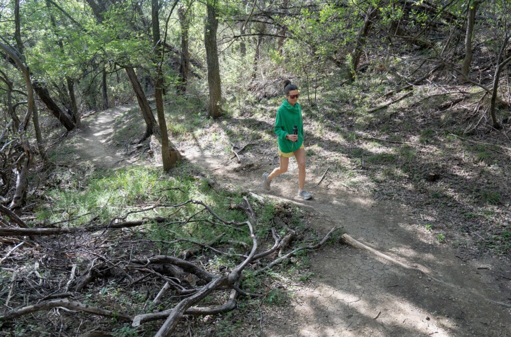
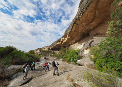
Neilia Bliss hikes a stretch of the Southeast Metro Park in East Austin. Pam LeBlanc photo
Southeast Metro Park Primitive Trail
Distance: 3.76-mile loop
Difficulty: Moderate
Most people know Southeast Metropolitan Park just east of Austin in Del Valle as a place to go for youth or recreation league soccer, baseball and softball games. Athletes scamper up and down neatly groomed playing fields while spectators in folding chairs sip sodas or nibble snacks.
They’re missing a whole other side of the 299-acre greenspace, bordered on its northern edge by the Colorado River.
The primitive trail (there’s also a separate paved loop) features several wooden bridges that cross creeks and ditches. You’ll get a glimpse of Gigafactory Texas, a 2,500-acre manufacturing hub for Tesla electric vehicles, and pass a couple of ponds, where anglers sometimes drop a line.
I like to add on a jaunt along a steep spur trail (marked Nature Trail) near the end to amp up the workout. My heart was pumping after hiking down to a pond and climbing back out.
The park is located at 4511 Highway 71 East. The primitive trail starts on the north side.
RELATED: Big changes are coming to Big Bend
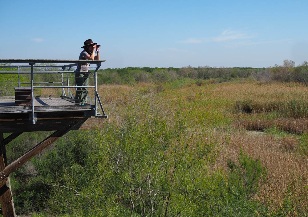
Best Austin hiking trail for birding
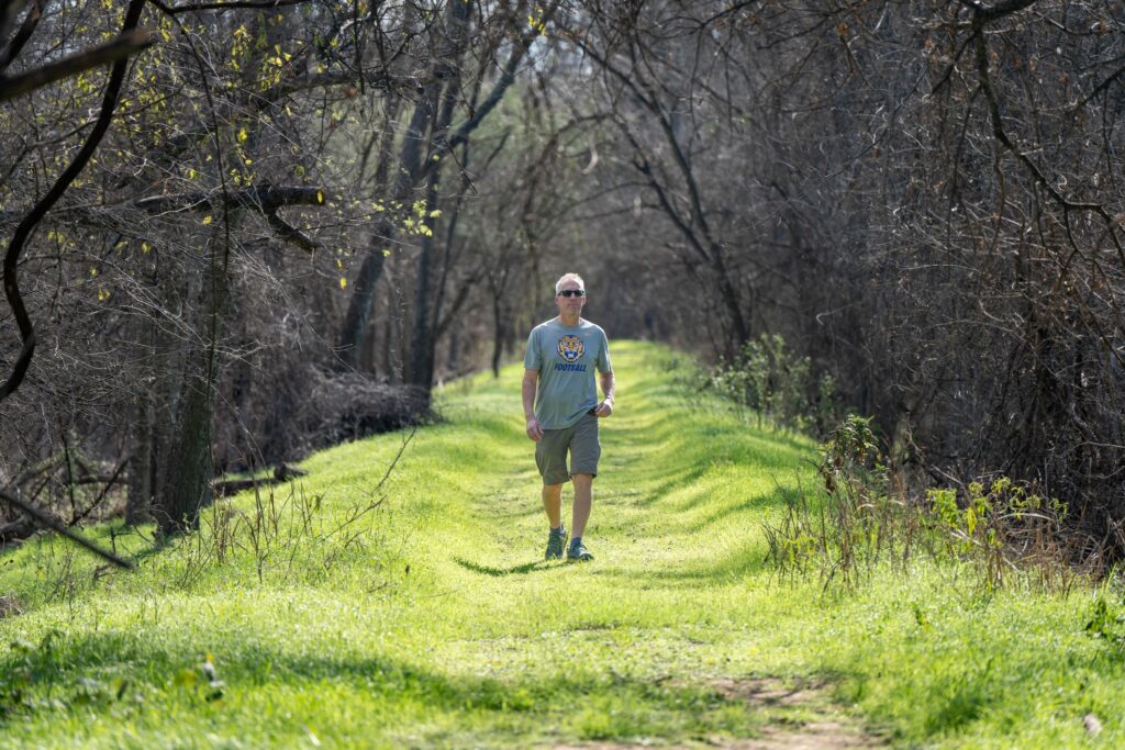
Chris LeBlanc hikes along a grassy berm at Hornsby Bend. Pam LeBlanc photo
Hornsby Bend, 2210 South FM 973
Distance: 5.2-mile out and back
Difficulty: Easy
If you like your hiking with a side order of birds, make plans to visit Hornsby Bend, located near Austin-Bergstrom International Airport in southeast Austin.
The area gets its name from Reuben Hornsby, who settled here in 1832 and later became the community’s postmaster.
It’s also the home of the Hornsby Bend Biosolids Management Plant, where crews combine sludge from the city’s wastewater plant with yard trimmings to create a type of garden compost called Dillo Dirt. And yes, it can be odiferous, but only near the retention ponds up top.
Although it might not sound like a great spot for a hike, those nutrient-rich, man-made ponds draw avian visitors. Today Hornsby Bend is known as one of the best places in Austin for birdwatching. More than 350 species of birds have been recorded here.
The main trail parallels the Colorado River, which forms a wide horseshoe bend, taking hikers into forested bottomlands, along a tree-lined levy, and across open brushland where prickly pear cacti grow in Volkswagen-sized mounds.
The trail is mostly flat and easy to follow, and you’ll feel far away from the bustling city once you leave your car. Since it’s close to the airport, it’s a good spot for plane spotting, too.
Best Austin hiking trail along Walnut Creek
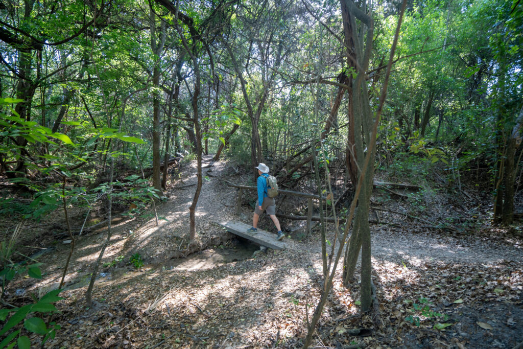 Copperfield Nature Trails
Distance: 3.8-mile out and back
Difficulty: Moderate
Put the Copperfield Nature Trails on your list if you’re looking for a trail that winds through a shady forest and keeps the sun-soaked stretches to a minimum.
The U-shaped trail makes a good 3.8-mile out-and-back – or if you don’t mind two stretches on sun-exposed city streets, turn it into a 3.35-mile loop. Either way, start at Copperfield Neighborhood Park, 1425 E. Yager Lane.
One of the downsides is the steady buzz of traffic that hangs overhead near the start. The roar of passing vehicles can detract from the peace of hiking outdoors.
But once you dip into the woods, you’ll start to forget you’re in the city. Honeysuckle vines grow on either side of the path, and in spring, it smells like heaven. Along the way you’ll pass a fern-covered bluff and cross a few footbridges. We spotted crawfish beneath an overhang in the creek, too.
The most picturesque section of trail begins at Mile 1.5, where the trail spills onto a wide limestone ledge along Walnut Creek. It’s flat and easy to navigate, with only one spot where you must step over some big boulders.
There’s a climb not far after that, and just before the 2-mile mark you pop out on Trotwood Drive. From that point, you can retrace your steps to make a 3.8-mile out-and-back hike. If you turn left onto Trotwood Drive and follow the signs, you can pick up the off-road trail again down the road. Stay on the trail until you dead-end into Yager Lane. From there, it’s a sun-exposed saunter east back to the park where you started.